Arctic land use can heat up emotions
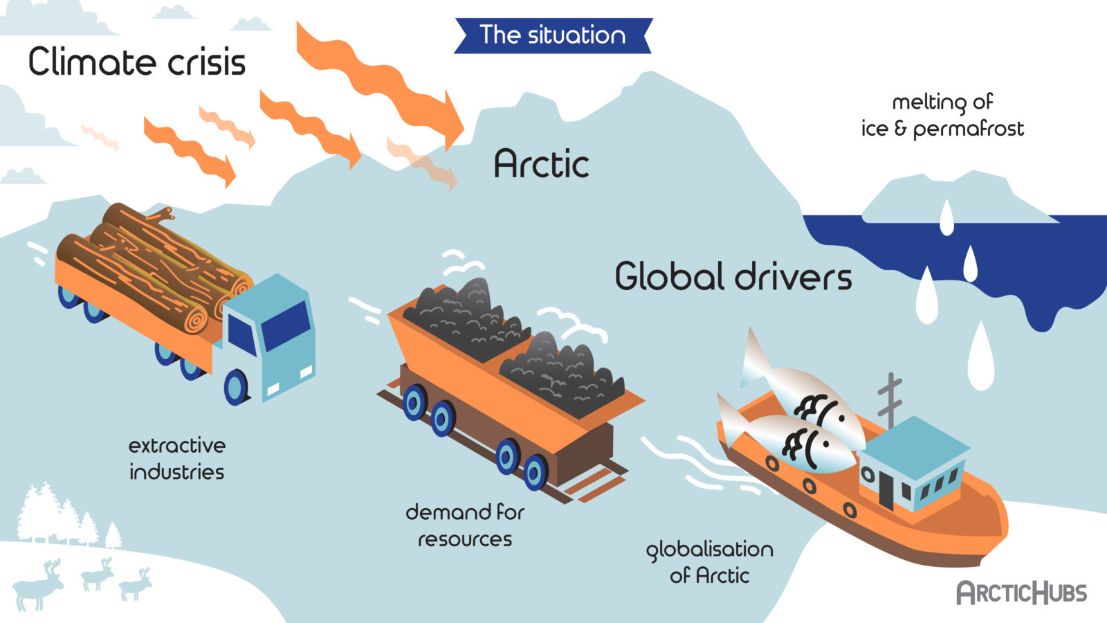
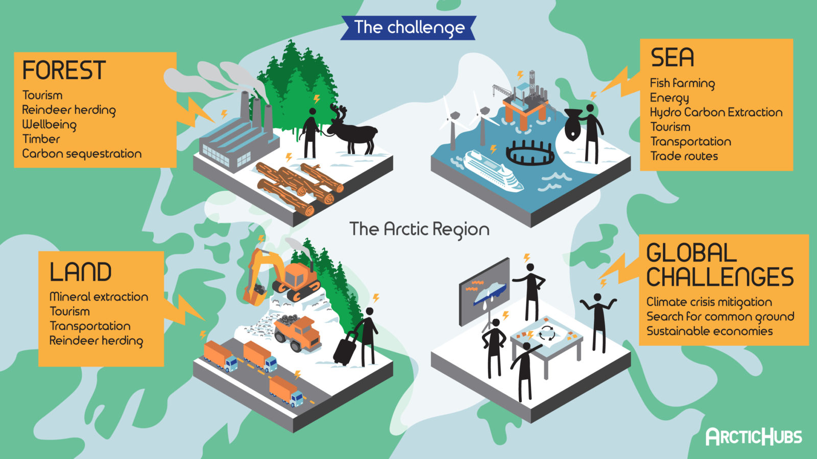
Climate change is projected to alter the Arctic more dramatically than any other region in the world. The Arctic today faces extraordinary pressures, with globalization and the climate crisis combining to drive change at an unprecedented rate. The opening up of new economic sectors, including mining and tourism, alongside the industrialization of many traditional livelihoods, such as fishing and forestry, are driving land use conflicts between competing sectors, and producing profound transformations on lives and communities at the economic, socio-cultural, political and environmental levels.
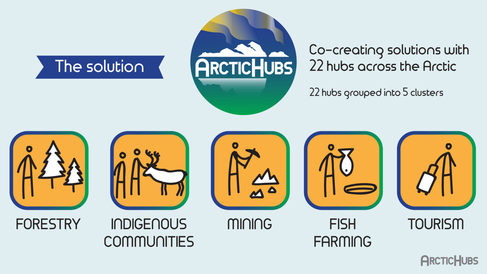
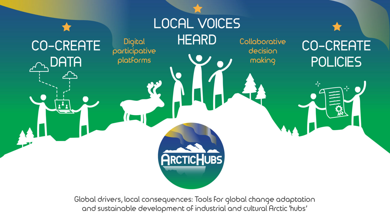
The ArcticHubs project is seeking to resolve conflicts over local resources and land through the use of new adaptive tools and approaches.
WHAT’S NEW?
Explore Bridging Worlds, our digital serious game bringing ArcticHubs research to life! Read the newsletter now!
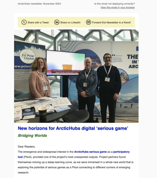
November newsletter: ArcticHubs’ serious game takes a step forward in Iceland and Japan!
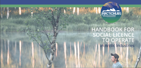
Social Licence to Operate (SLO): introducing the SLO guide for sustainable Arctic industries
Discover how Arctic industries can achieve sustainable growth by earning community trust with the Social Licence to Operate (SLO) concept. Learn about key strategies for community engagement, respecting indigenous rights, and balancing economic and environmental interests.
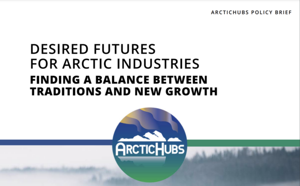
Shaping the future of Arctic industries: a new policy brief from ArcticHubs
The ArcticHubs project’s policy brief, Desired Futures for Arctic Industries, presents key insights for balancing growth and sustainability across tourism, forestry, aquaculture, mining, and indigenous livelihoods. This article summarizes the recommendations for fostering collaboration, inclusiveness, and environmental stewardship, aiming for a resilient Arctic future where all stakeholders thrive.
ArcticHubs Inari & Varangerfjord future forum
(ArcticHubs farewell for now tour!)
17th – 18th June at Ivalo, Finland
Just as we were feeling the full benefits of being a close and familiar family, the four years of ArcticHubs project is closing out its busy calendar of research activities and events. To mark one of the important focal points from the concluding work package, local residents, authorities and research teams are converging together to attend the Inari future forum and final meeting between 17-19 June.
Generously hosted by the municipal authorities in Ivalo (high up in the Arctic north east corner of Finland), over these long summer days ArcticHubs is taking the opportunity to hear from and share perspectives with a diverse set of stakeholders. The topic of debate centers on what the future decade may bring to the region and its competing land and sea uses. Opinions by now have been further informed by extensive surveying, analysis and cross referencing built up through the introduction of the suite of participatory tools facilitated by ArcticHubs research teams – including public participation GIS, Delphi method surveys and now collective future scenario building.
Taking advantage of regional geography, the event will also provide a convenient opportunity to bring together the views and experiences from colleagues who are able to travel down from the Varangerfjord hub just over the border in Norway. A consideration of what hub locations share in common as well as what elements are more unique for an individual hub, is something that the project has grappled with across all of its activities. We are all looking forward to exploring deeper into the Varanger-Inari cross-over points.
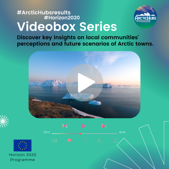
ArcticHubs Videobox Series
The Videobox Series highlights our key findings on local communities’ perceptions of development and future scenarios in Arctic towns. It focuses on the evolution of economic activities such as fish farming, forestry, mining, tourism, and indigenous practices like reindeer husbandry and hunting.
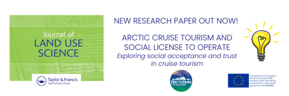
Discover our latest insights into the social acceptance and trust in Arctic cruise tourism. Learn about the importance of community engagement and sustainable practices in fostering positive relationships between cruise operators and local Arctic communities.
ArctiHubs Digital Game!
The ArcticHubs digital game emerged from the foundational stages of the ArcticHubs project.
The game offers a multifaceted platform for engaging with arctic issues, far beyond a mere conveyance of information.
Click on the link below to check its progress

ArcticHubs sweeps into Scotland 🏴 with Arctic Science Summit Week 2024
Community engagement platform for data collection and conflict negotiation
 The general aim of the ArcticHubs project is to explore ways to reconcile global industries with local livelihoods, as well as discover traditional and cultural ways of land use in the Arctic areas. As a part of this, the aim is to develop means for local citizens to participate in discussions and decision-making about land use in relation to different industries.
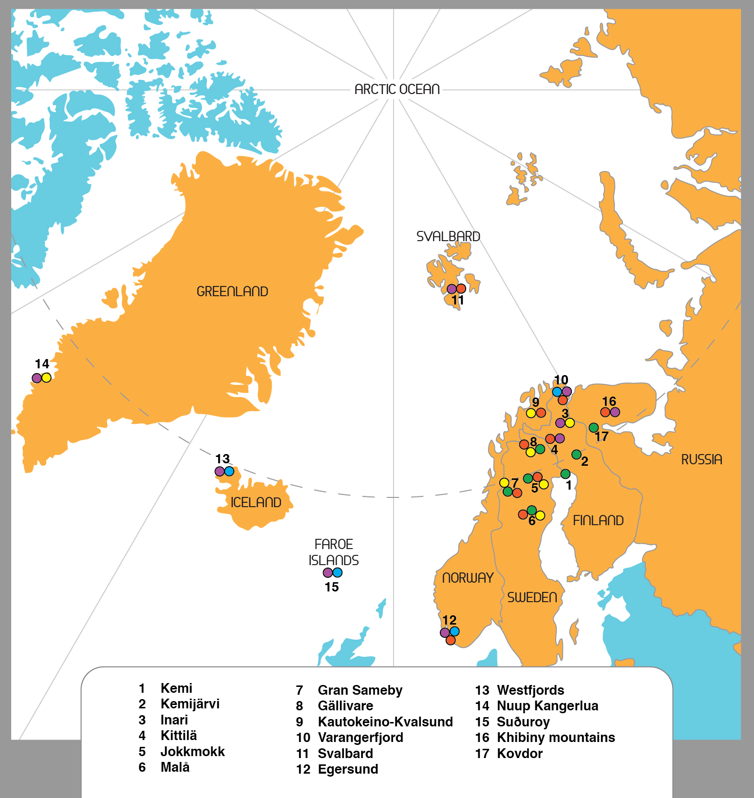
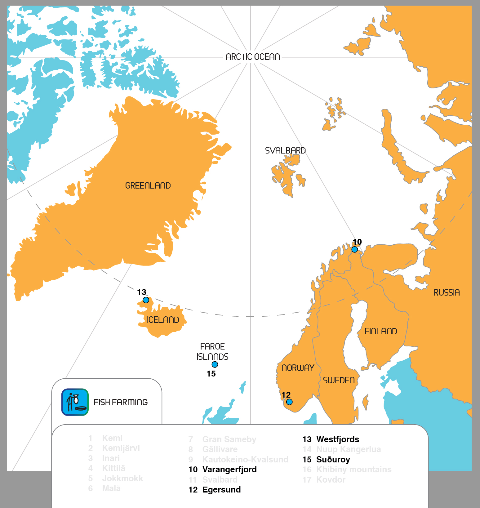
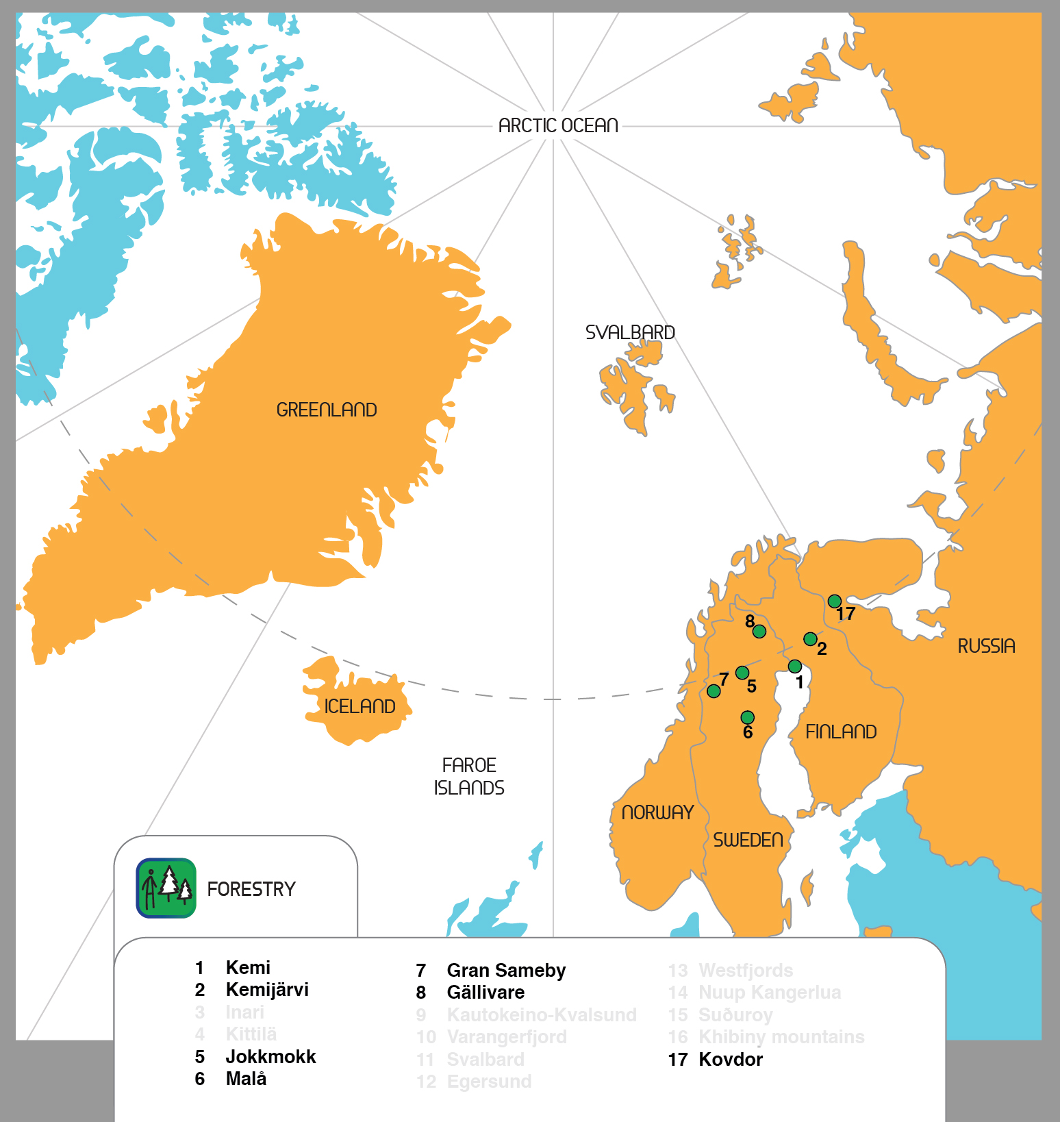
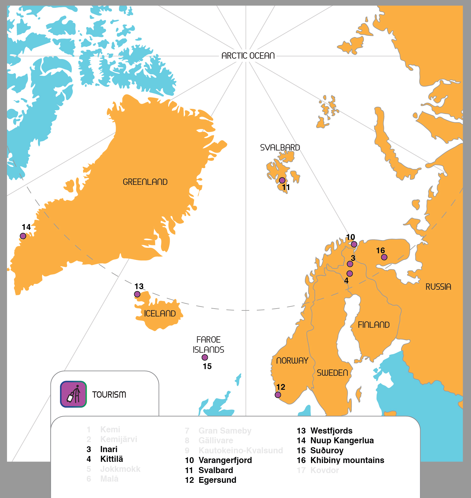
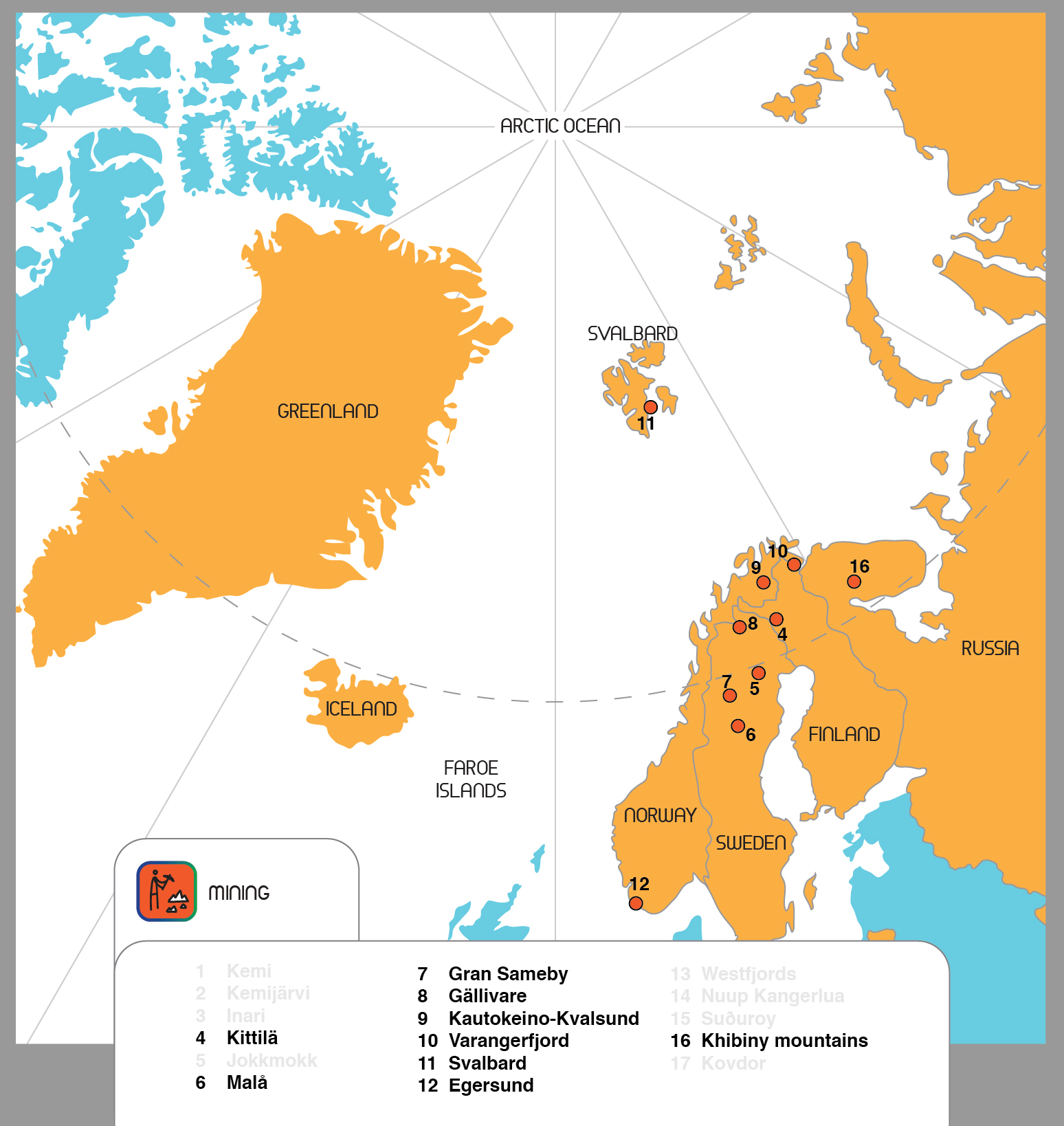
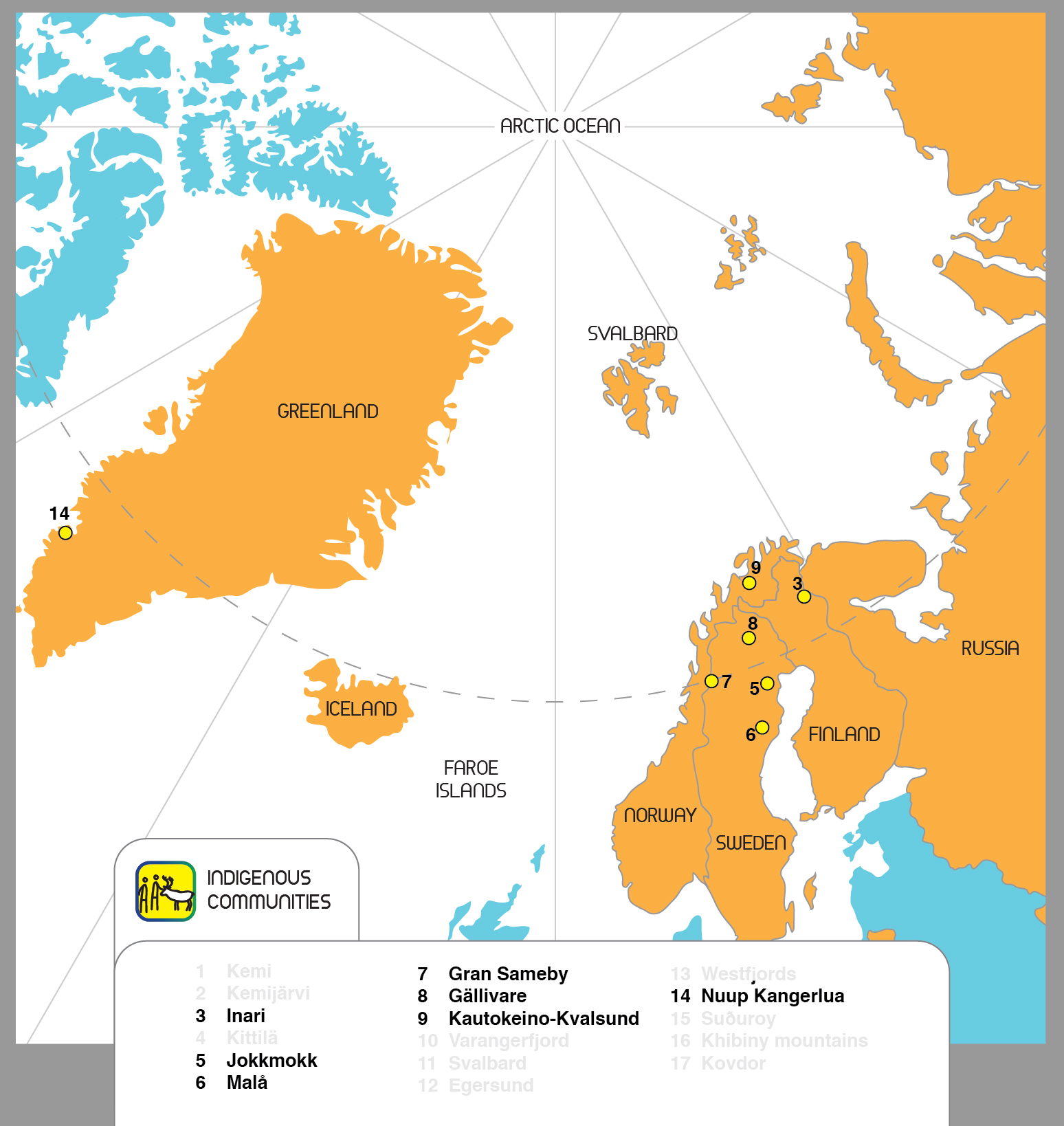
Development is made in selected areas, hubs which are important socioeconomic nodes representing various industries.
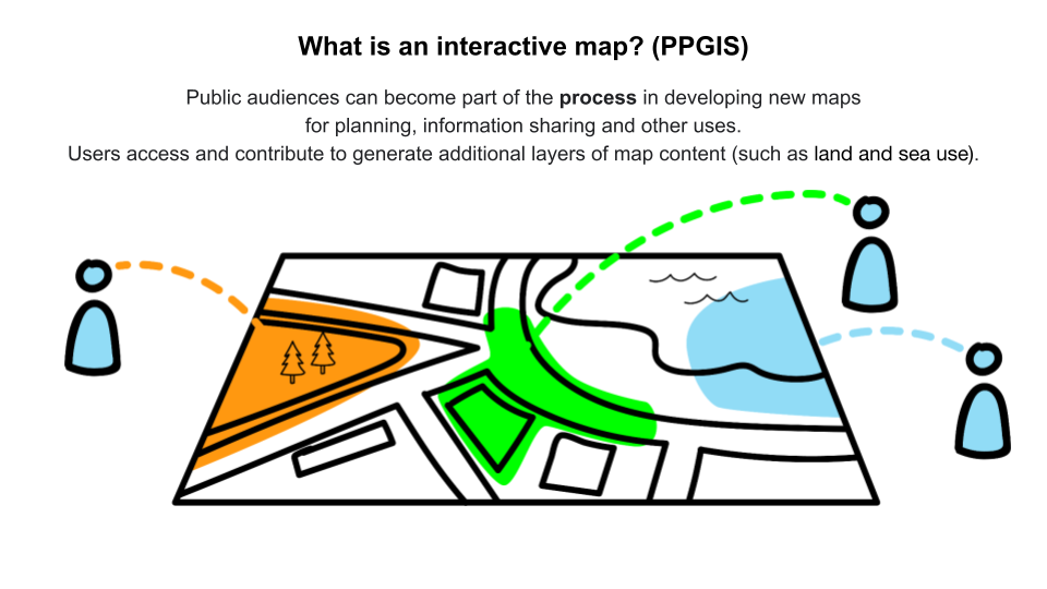
The advantages of Public Participation Geographic Information Systems
Geographic information systems-based participatory mapping methods such as Public Participation Geographic Information Systems (PPGIS), are increasingly used by decision-makers to improve the collection and utilisation of locally-relevant knowledge in decision-making and planning.
Read more on Innovation Newsnetwork
Understanding Maptionnaire
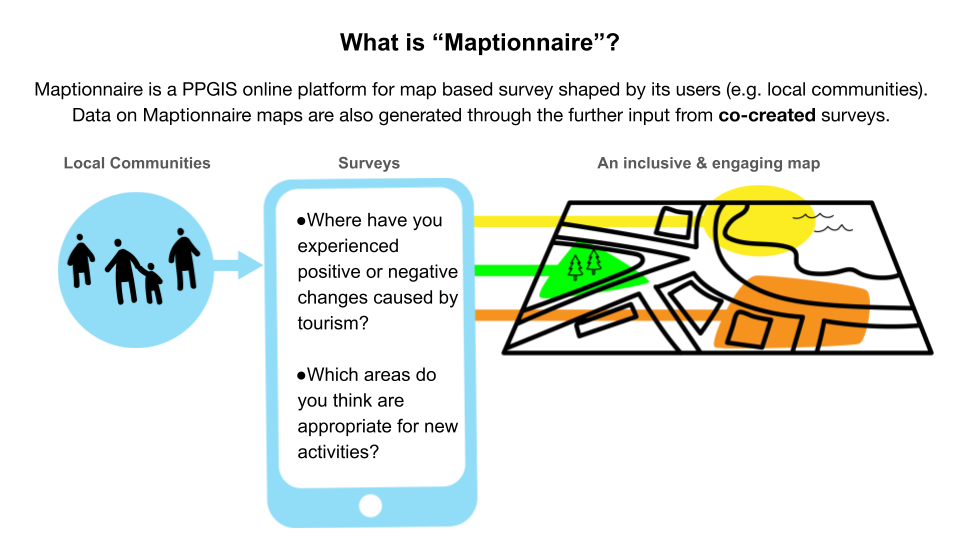
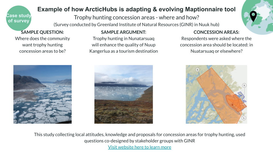
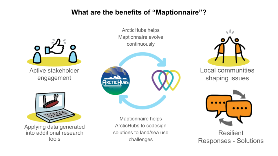
One effective approach to fostering collaboration and achieving sustainable use of land and water resources is through the collaborative design of solutions, involving local communities, researchers, stakeholders, policymakers, and local institutions. By actively involving these key stakeholders, we can ensure that the decisions made are inclusive, transparent, and aligned with the needs and aspirations of the community.
In this endeavor, Maptionnaire serves as a valuable tool for engaging the public and facilitating their participation in the process of generating additional layers of map content, such as land and sea use. Maptionnaire’s interactive map enables individuals to contribute their knowledge, perspectives, and ideas, thereby enriching the overall understanding of the area and fostering a sense of ownership among the stakeholders.
By leveraging Maptionnaire’s capabilities, we aim to create a collaborative environment where diverse voices are heard, enabling the co-creation of sustainable solutions for land and water resource management in the Arctic hubs.
ArcticHubs – How it works
The ArcticHubs project is an ambitious, multi-disciplinary international collaboration that aims to develop research-led, practice-based solutions to help address the urgent challenges faced in the Arctic.
The project will work towards this goal through four specific objectives:
- Map and analyse global drivers influencing the future of the Arctic and explore how different kinds of global Actors in the region understand their social, economic and environmental responsibilities.
- Identify and quantify environmental, socioeconomic, cultural and political impacts of current industrial activities in the Arctic, and assess how predicted changes in activity resulting from adaptive responses to climate change will affect these impacts.
- Using a co-design approach, develop interactive tools for decision and policymakers to maximize uptake of knowledge of local situations and tensions, and to provide channels for continuous communication and dialogue with stakeholder groups.
- Using foresight methods, change the perspective from that of the present to the near future, with the aim of broadening consensus on developmental goals for the region.
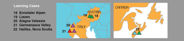
Arctic hub locations
(click the coloured buttons to show individual hub types)
And Learning Cases