Introducing some participatory tools tested and developed in the ArcticHubs project
Our project, part of the Horizon 2020 initiative, has successfully developed and tested a range of innovative participatory tools designed to address land-use conflicts in Arctic communities. These tools have been thoroughly evaluated and are now available for wider use.
These are:
Stakeholder Mapping Tool:
- usable to identify and engage with key stakeholders in Arctic regions.
- to facilitate better communication and collaboration among different groups.
Conflict Resolution Framework:
- to address and mediate land-use conflicts effectively.
- to promote sustainable solutions through dialogue and mutual understanding.
Interactive Decision-Making Platform:
- to support community involvement in land-use planning.
- and to empower local populations by incorporating their input in decision-making processes.
Environmental Impact Assessment Tool:
- To evaluate the potential impacts of land-use projects.
- and to ensure environmentally responsible development in Arctic regions.
Community Engagement Workshops:
- To conduct workshops to gather feedback and build consensus.
- and to enhance community participation in (sustainable) development initiatives.
These participatory tools have been rigorously tested in various Arctic communities, proving their effectiveness in fostering collaboration, reducing conflicts, and supporting sustainable land-use practices.
Access Our Tools
We invite policymakers, researchers, community leaders, and stakeholders to explore and utilize these tools. Together, we can promote sustainable development and resolve land and resource use conflicts in the Arctic region.
Discover more about our participatory tools and how they can benefit your community by visiting our reports and publications and explainer videos and podcasts pages.
We understand that every research project is unique, and there is no one-size-fits-all solution. Therefore, we encourage researchers/users to explore the various tools and resources available on this page and select the ones that best suit their needs.
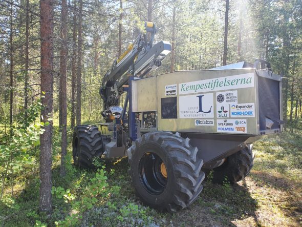
Leads: Luleå University of Technology in collaboration with Swedish University of Agricultural Sciences
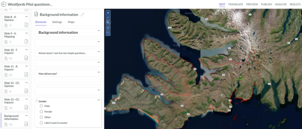
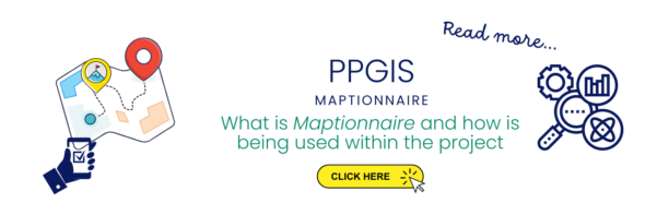 A flexible community engagement digital platform – Maptionnaire – for the use and co-creation of individual questionnaires, sharing of maps based information and images, built on GIS system. This tool is being tested and improved in several project hubs around the Arctic, with co-created (with local stakeholders) questionnaires to explore perceptions and positions of locals and stakeholders about Arctic scenario and current issues.